Flying Pond
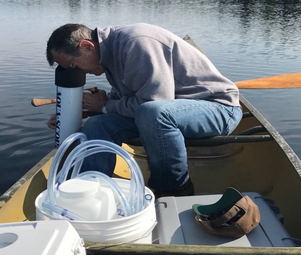
Through our water quality monitoring program, we collect extensive data to track the health of our lakes and ponds. We measure water clarity, temperature, dissolved oxygen, phosphorus and other indicators of water quality. This data helps us identify trends in declining water quality to address at-risk areas before it's too late.
Water Quality Reports:
Resources:
Note: This page updates throughout our monitoring season. Annual water quality reports will be available after the season is completed.
Flying Pond Snapshot
- Town(s): Vienna, Mt. Vernon
- Acres: 403 Acres
- Mean Depth: 27 feet
- Max Depth: 80 feet
- Public Boat Launch: State Route 41
- Fishery: Flying Pond fishing
- Lake Association: Flying Pond Improvement Association
Secchi Depth
Secchi depth readings measure transparency by recording the level at which a black-and-white disk disappears from sight as it is lowered beneath the surface of the lake. See our water quality monitoring page for more information.
Temperature and Dissolved Oxygen
These readings are obtained as an electronic sensor measures temperature (in degrees Celsius) and dissolved oxygen (in mg/L or ppm) as it is lowered at one meter intervals starting at the surface of the lake. After 15 meters readings are taken every other meter. For more information about temperature and dissolved oxygen in lakes and why this information is important, see our water quality monitoring page for more information.
2024 Temperature and Dissolved Oxygen readings:
2023 Temperature and Dissolved Oxygen readings:
Photo Credit: Karen Kurkjian (Banner)

