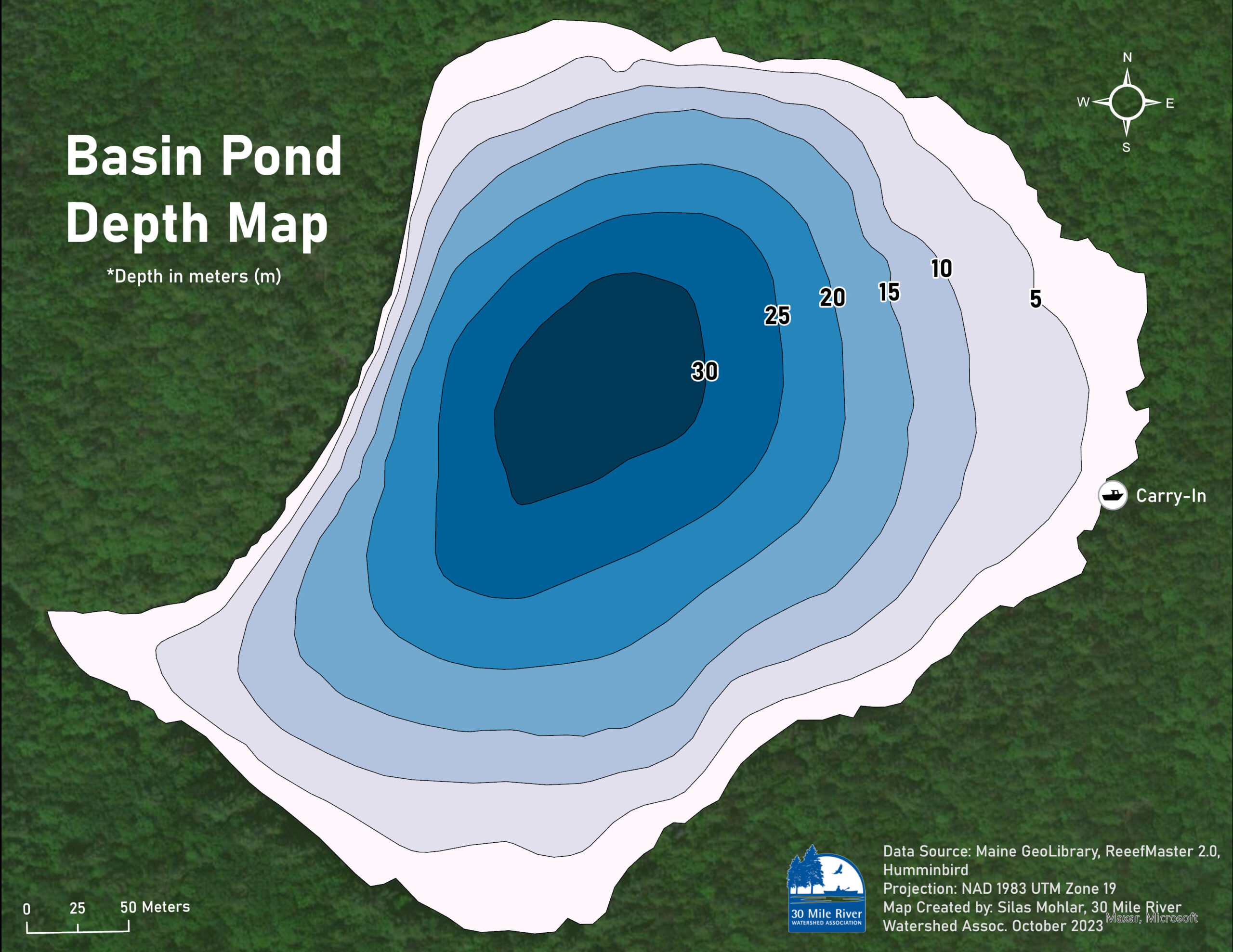
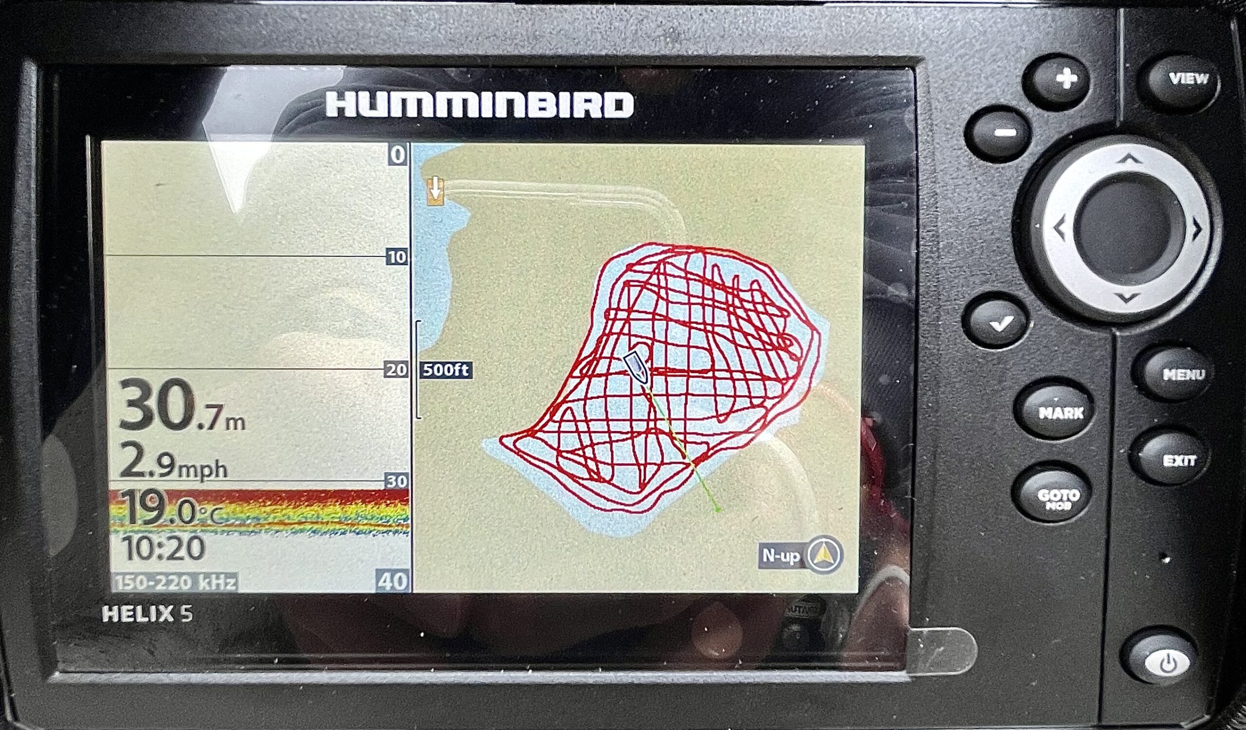
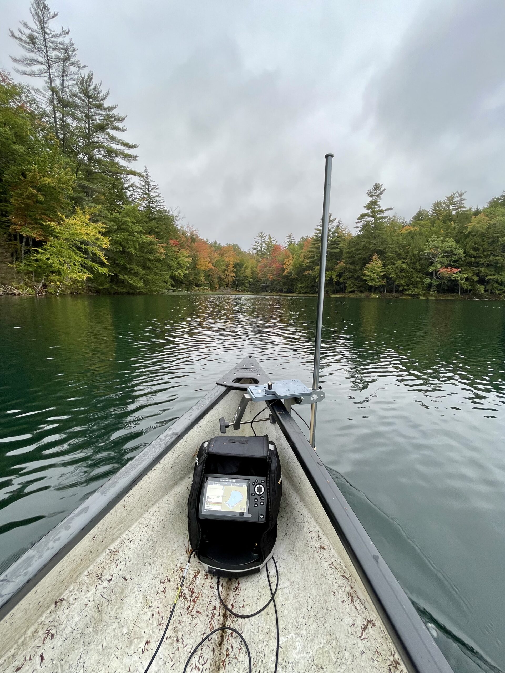
Thanks to a grant from the John Sage Foundation, we are now able to begin collecting data to build bathymetric maps for each of the lakes and ponds in the watershed. In the same way topographic maps represent elevation features of overland terrain, bathymetric maps illustrate the land below the water in a lake or pond – allowing us to visualize variations in underwater terrain and create depth contours along the lakebed. This project also allows us to calculate more accurate estimates of lake volume and surface area across various depth intervals. Starting with a small pond to test our methodology, on October 6th, we collected data on our first body of water, Basin Pond, with the help of 30 Mile volunteer Bob Harradon.


This article was included in 30 Mile’s October 2023 newsletter. To view the full newsletter, click here.
