Much of the road infrastructure in our rural Maine towns was not designed to withstand the worsening impacts of climate change. This includes more frequent and intense periods of rain, flood events, and changes in groundwater levels. The first steps that municipalities can take to better understand risks and begin to address infrastructure challenges are (1) completing a town stream crossing assessment and (2) developing an inventory of vulnerable infrastructure.
To jumpstart this process, throughout the summer, our staff evaluated 46 stream crossings, from Vienna to Monmouth. Our surveys will continue through September to complete the field portion of this assessment. Using data collected in the field–in tandem with traffic counts and detour lengths, among other factors–will help us identify the sites at highest risk for failing or washing out completely.
Once we have compiled all of the information, we will provide town officials with a prioritized list of road and culvert sites and recommended next steps. For a few of the highest risk sites, we will both consult with a professional engineer and will assist with the needed scoping, design, modeling, and environmental permitting. This will help to alleviate the town’s costs and time commitments.
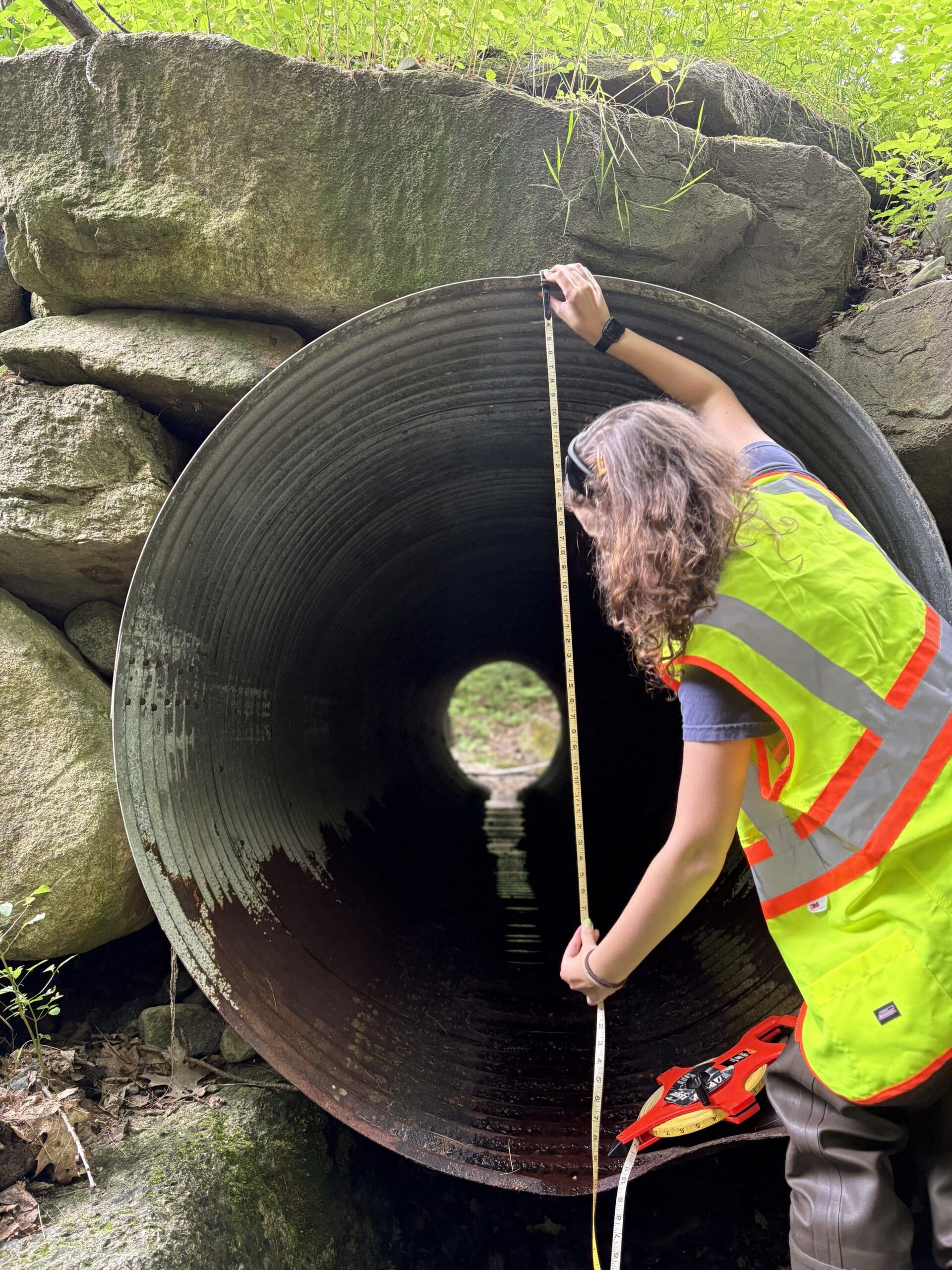
Photos: Land Use Coordinator, Ellie, measuring a culvert.
This project was funded in part by the Maine Outdoor Heritage Fund, in which proceeds from the sale of a dedicated instant lottery ticket are used to support outdoor recreation and natural resource conservation. For more information about MOHF, go to www.maine.gov/ifw/mohf.
This article was included in 30 Mile’s September 2026 newsletter. To view the full release, click here.